News Archive
Recent news and features
Cartography updates

C-MAP® improves coverage across UK, France, Denmark, and Portugal
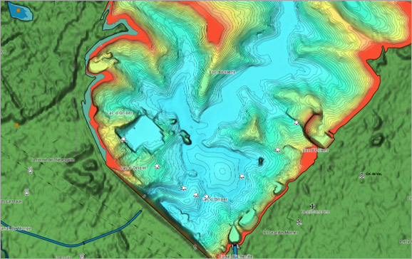
Updates include an additional 40 lakes added across France, Denmark, and the UK.
C-MAP® Expands Coverage across UK, France and Spanish Coastlines
C-MAP® today unlocked uncharted waters by expanding coverage across inland France, UK and Ireland, as well as improved coastal bathymetry around Spain.

C-MAP® Updates Cartography for Europe
Major update to European charts – includes improved High-Resolution Bathymetry and Shaded Relief across parts of coastal Europe and South Africa.

C-MAP® Debuts NEW Inland Cartography for the Netherlands
C-MAP® Debuts NEW Inland Cartography for the Netherlands
Features

Update for C-MAP® App Including New Features
New features open community sharing and anchor alert for all users, with satellite and weather overlays for Premium users.

Download a Complete Guide to C-MAP® Chart Symbols (PDF)
Learn what all the icons, symbols and objects mean on C-MAP charts. From anchorage areas to submerged wrecks, it's all on the map.

E1 Series Powerboat & C-MAP Partnership
C-MAP® has partnered with the E1 Series to become the Official Cartography Partner of the world’s first electric powerboat championship.

Navigational Newbies
C-MAP® offers an excellent way for novice boaters to safely discover their new favourite waterways.


